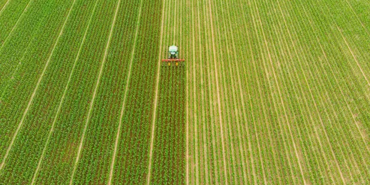
In this article, we explore the potential of digital transformation in agriculture, focusing on the use of Geographic Information Systems (GIS) to streamline and expedite field data management. Drawing on the latest data from sources such as GlavAgronom, we highlight the benefits of leveraging GIS technology for farmers, agronomists, agricultural engineers, farm owners, and scientists, enabling them to optimize operations and enhance decision-making processes.
According to the article on GlavAgronom, digital transformation, specifically the integration of GIS technology, has the capacity to revolutionize field data management in agriculture. GIS platforms offer advanced capabilities for collecting, analyzing, and visualizing geospatial data related to agricultural fields, providing valuable insights for optimizing farming practices.
Data from various sources illustrate the advantages of employing GIS for field data management. By utilizing geodatabases, farmers can store and organize essential information such as field boundaries, soil characteristics, crop performance, and irrigation systems. This centralized and structured approach facilitates easy access to critical data, eliminating the need for manual record-keeping and enabling swift decision-making.
Furthermore, GIS technology allows for the integration of real-time data, such as weather patterns, satellite imagery, and sensor data, providing farmers with up-to-date information on field conditions. This data integration empowers farmers to make informed decisions regarding irrigation scheduling, crop protection measures, and nutrient management, leading to improved resource allocation and optimized yields.
The utilization of GIS also enhances collaboration and communication among different stakeholders in the agricultural sector. By sharing geospatial data through digital platforms, farmers, agronomists, and scientists can work collaboratively to identify and address field-specific challenges, exchange best practices, and collectively strive for sustainable agricultural solutions.
In conclusion, the integration of GIS technology in agriculture offers immense potential for accelerating field data management. By leveraging the power of geospatial data, farmers can make informed decisions, optimize resource allocation, and improve overall operational efficiency. Embracing digital transformation through GIS enables enhanced collaboration and promotes data-driven sustainable farming practices.
Tags: Digital Transformation, GIS, Field Data Management, Geospatial Data, Decision-Making, Resource Optimization, Collaboration, Sustainable Farming.
