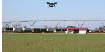
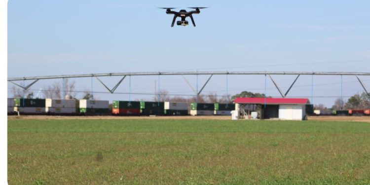
People who are interested in using drones for real-world mapping are invited to attend a three-day intensive drone workshop in the Monterey Bay Area. The third annual DroneCamp will be offered June 18-20 by UC Agriculture and Natural Resources’ Informatics and GIS Program. No experience with drone technology is needed to participate.
Drone mapping involves taking high-resolution photos with drones and stitching them together with software to make extremely accurate, orthorectified maps. More difficult than videography, it is widely used in agriculture, construction, archeology, surveying, facilities management and other fields. DroneCamp will cover all the topics someone needs to make maps with drones, including:
- Technology – the different types of drone and sensor hardware, costs and applications
- Drone science – principles of photogrammetry and remote sensing
- Safety and regulations – learn to fly safely and legally, including tips on getting your FAA Part 107 Remote Pilot Certificate
- Mission planning – flight planning tools and principles for specific mission objectives
- Flight operations – hands-on practice with both manual and programmed flights
- Data processing – processing drone data into orthomosaics and 3D digital surface models; assessing quality control
- Data analysis – techniques for analyzing drone data in GIS and remote sensing software
- Visualization – create 3D models of your data
- Latest trends – hear about new and upcoming developments in drone technology, data processing, and regulations
On the first day, DroneCamp instructors will discuss drone platforms, sensor technologies and regulations. On the following two days, participants will receive hands-on instruction on flying safely, using automated flight software, emergency procedures, managing data, and turning images into maps using Pix4D mapper and ArcGIS Pro.
Registration is $900 for the general public and $500 for University of California students and employees. Registration includes instruction, materials, flight practice and lunches. Scholarships are available.
This year DroneCamp is being held in conjunction with the Monterey Bay DART (Drones Automation & Robotics Technology), which is holding an industry symposium on Friday, June 21. DroneCamp participants get a $50 discount to attend the symposium.
For more information and to register for DroneCamp, please complete the registration form at http://igis.ucanr.edu/dronecamp. Registration fees are due by June 1, 2019.
